GIS
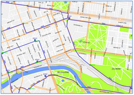
Geographic Information Systems (GIS) is a software platform used to manage different pictorial, graphical, and physical site data. The data can be manipulated, sorted, and arranged to track assets, inventory, etc., for business purposes.
Our Features in GIS
- Documentation of poles, pedestals, splices, and equipment
- Data Management
- Analysis of spatial relationships
- Data conversions
- Easy Access, Analysis, & Utilization of equipment
- Maintain & Track Inventory/assets

